The waterway beyond the water
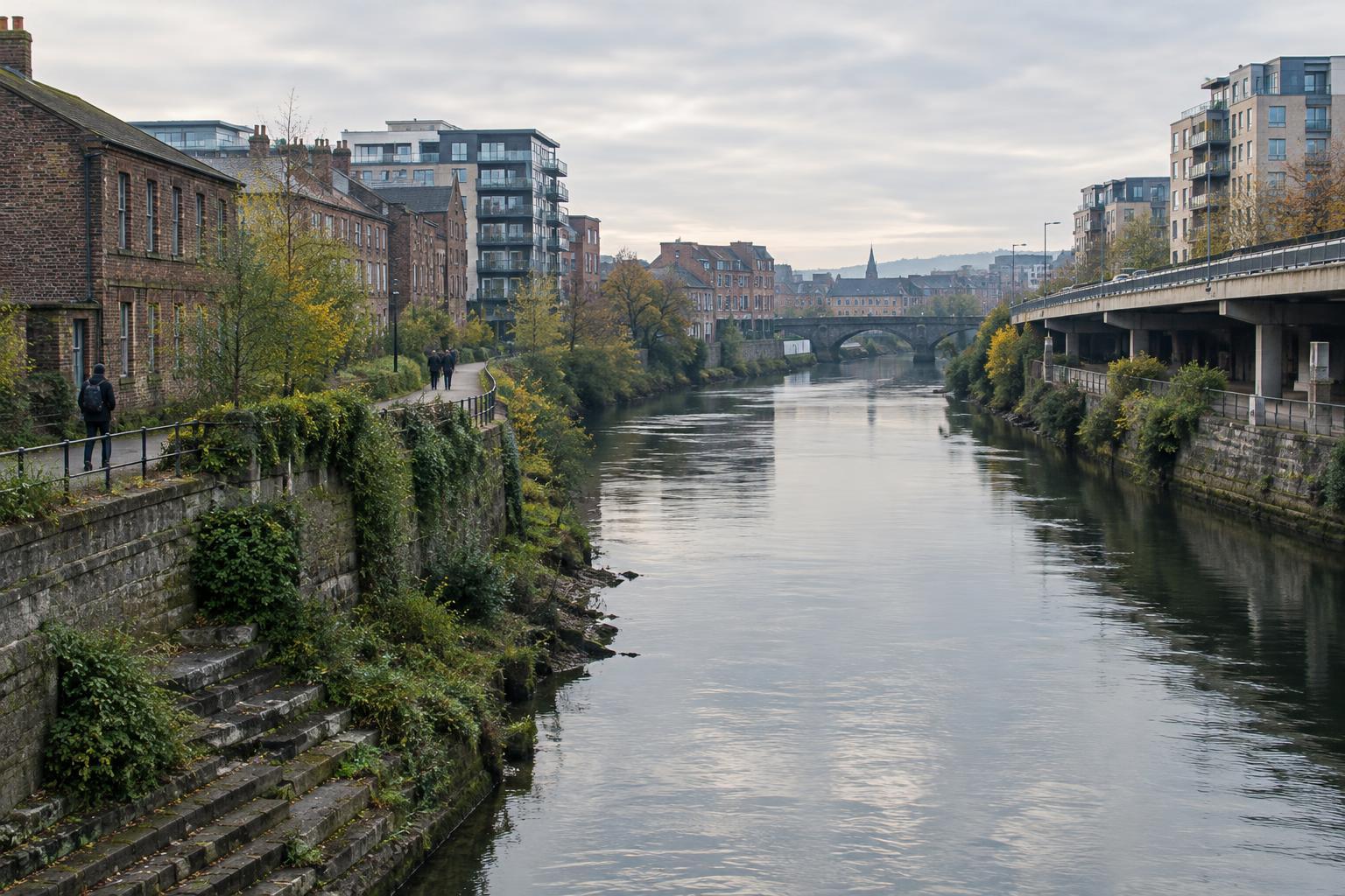
A city’s relationship with a river, canal or shoreline can be hard to see from the present bank. A road may run where people once gathered at the water. Warehouses may have become apartments, or a channel may have been redirected behind walls. Yet changing the edge of a waterway does not necessarily erase its influence. Streets still bend toward old crossings. A neighbourhood may keep a name associated with a landing that no longer exists. Even residents who rarely visit the water may move through a city arranged around it.
This is one reason waterways matter to urban identity: they are both physical features and ways of organizing attention. They offer routes, boundaries, meeting places and images a city can use to describe itself. When their banks change, those roles change too. The useful question is not whether a city has preserved an original relationship with its water, but which parts of that relationship remain visible, which have been remade and which are easy to overlook.
Routes that outlast their purpose
Water once provided an obvious path for moving people and goods in many cities. Access to a landing or crossing could affect where streets, markets and workplaces developed. Later transport systems might replace that practical function without completely replacing the pattern it left behind. A broad avenue can follow an older route to the shore; a bridge can continue to draw daily traffic toward a particular district. The purpose of a place changes faster than its position on a map.
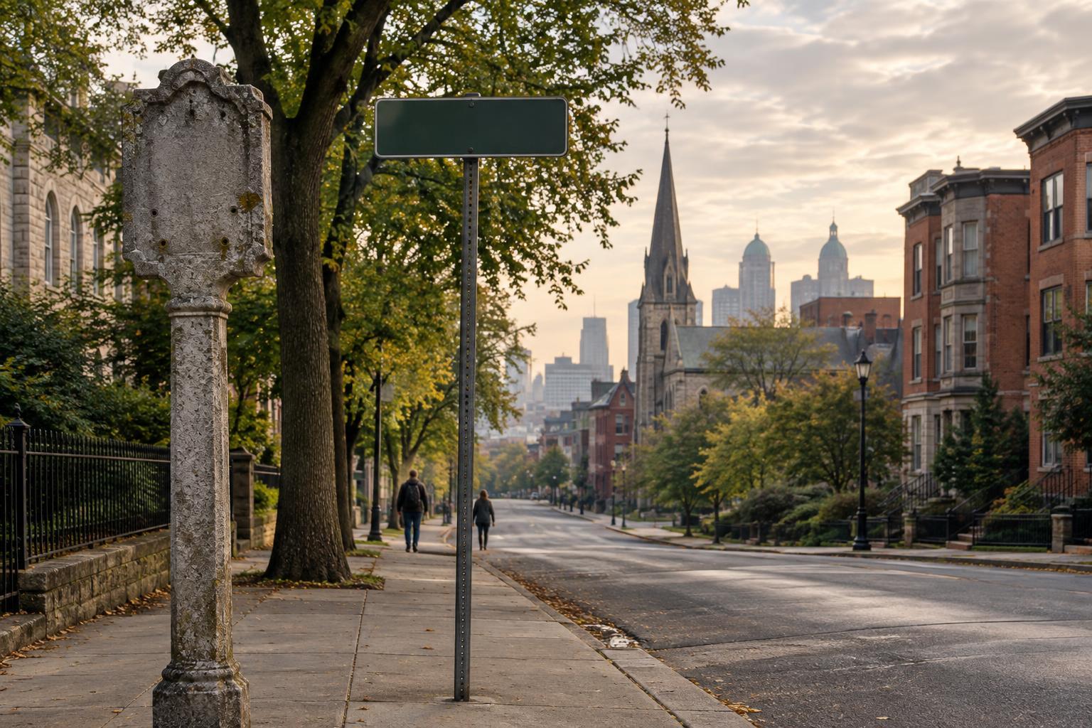
Walking toward a waterway can reveal this inherited structure. Notice where streets narrow or widen, where a route ends abruptly, and where the city seems to turn its buildings toward or away from the bank. None of these details proves a single historical explanation on its own. Together, though, they can prompt better questions about why movement feels easy in one direction and difficult in another. A waterway’s influence may be clearest not at the water itself, but in the journeys people take to reach it.
A shoreline is also a record of decisions
It is tempting to describe a river as a natural feature and a city as something built beside it. In practice, urban waterways are often managed spaces. Banks can be filled, reinforced, fenced, planted or opened for public use. Such choices affect more than appearance. They help determine who can approach the water, what activities feel welcome there and whether nearby residents experience it as an amenity, a workplace or an obstacle.
A changed shoreline can therefore hold competing memories. One person may remember an industrial job; another may know the same stretch as a walking path. A new public space can offer real pleasures while making an earlier use harder to imagine. Paying attention to both experiences avoids treating change as either simple loss or simple improvement. The waterfront visible today is one chapter in a longer account of how a city has valued access, labour, safety and leisure.
Names, stories and unequal visibility
Place names can preserve a trace of water after the landscape has been altered. So can family stories, local descriptions and the habits of giving directions: “down by the river” may remain meaningful even where the river is hidden from view. Literature can make use of these layers. A character crossing a bridge is doing something ordinary, but the crossing may also mark a change in neighbourhood, belonging or expectation. Water gives a writer a concrete setting through which to explore less visible boundaries.
Not every memory receives the same public attention. A polished waterfront image may emphasize recreation while leaving little room for accounts of work, exclusion or displacement. Equally, nostalgia for an older shoreline can miss the people who had limited access to it. Reading a city through its water calls for more than collecting picturesque details. It means asking whose experiences are attached to a place, whose are marked on signs and maps, and whose require closer listening.
Learning to read the altered bank
You do not need to reconstruct an entire river’s history to notice its continuing role. Start with a short route between an inland street and the water. Look for changes in elevation, street direction, building entrances and the ease of reaching the bank. Then consider the language people use for the area. Does the name point to a former use? Does the water serve as a landmark, or does the surrounding design make it surprisingly hard to find?
The point is not to turn every bend in a street into evidence of a vanished shore. It is to hold the present city and its possible earlier forms in view at the same time. Waterways keep shaping identity partly because their traces invite this double vision. A bank can move, a route can be closed, and a district can be renamed, while the city continues to carry those changes in its layout and in the stories people tell about where they live.