Begin with the map’s purpose
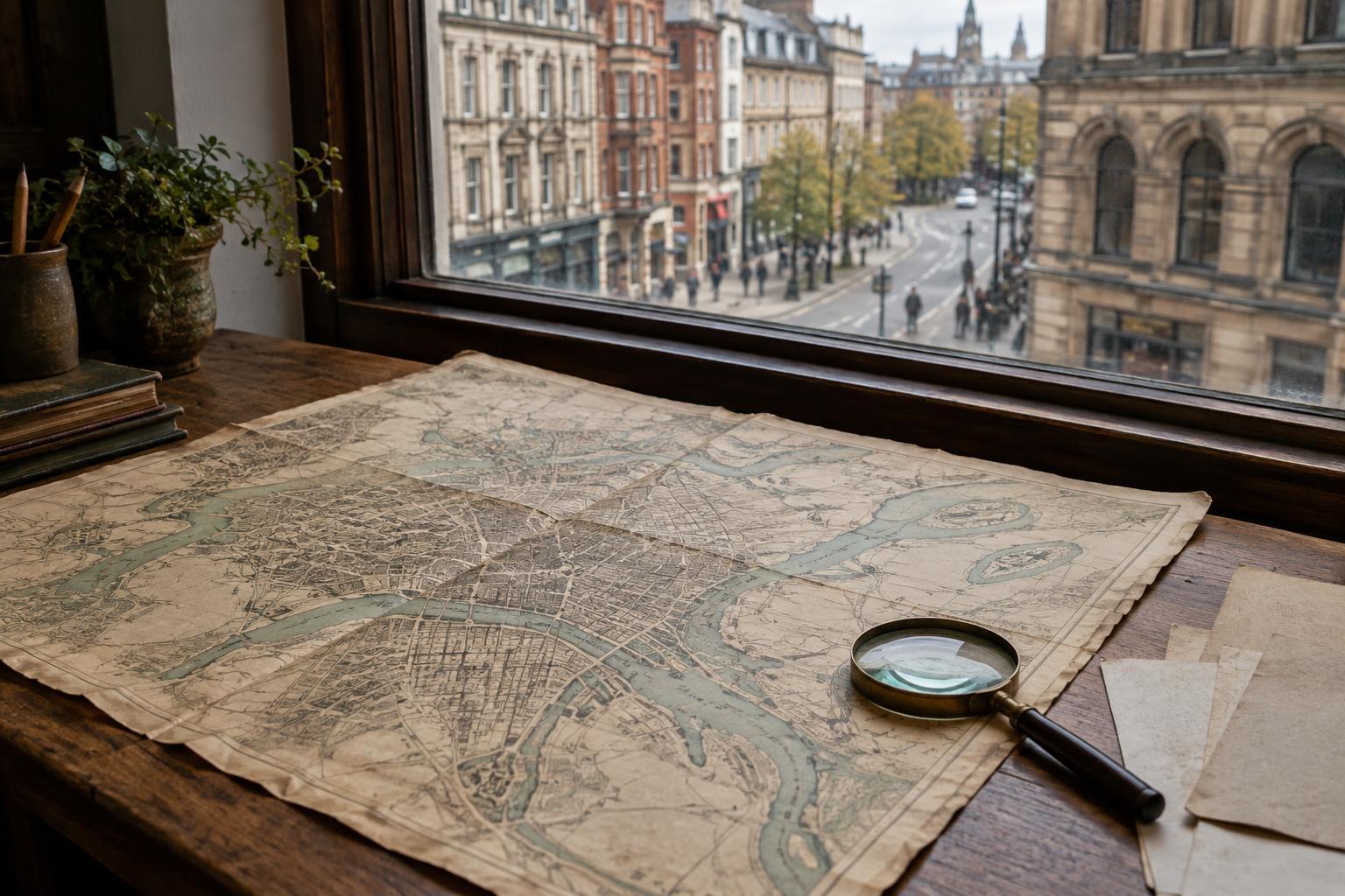
A historical city map is an argument about what was worth showing, even when it looks like a neutral picture of streets and blocks. Before following a familiar road across the page, look for a title, date, maker, legend and stated purpose. A map prepared to show property boundaries may give buildings and parcels careful attention while saying little about the people who used the space. A transit map may simplify distances to make routes easier to follow. Neither is necessarily defective; each answers a different question.
Ask who was expected to use the map and what that reader needed to know. Was it meant to guide travel, define administrative areas or describe proposed changes? If the date is unclear, resist assigning the map to a precise year based on its appearance alone. And if a label says “proposed,” do not assume the street or building was ever completed. Reading the map’s framing first helps keep a useful document from becoming an accidental claim about everything that existed.
Notice what scale makes visible
Scale determines which details fit on the page. A map of an entire city may show major roads and shorelines but not narrow lanes, informal paths or the spaces between buildings. A detailed plan of a few blocks might reveal parcel shapes while leaving the wider neighbourhood out of view. Compare the size of what you want to investigate with the size of what the map was designed to depict. A missing feature may be too small for its scale, rather than absent from the city.
The map’s edges matter too. A neighbourhood near a boundary can appear isolated because the places connected to it have been cropped away. When possible, look at an adjoining sheet or a map covering a wider area. Pay attention as well to the difference between a line on paper and a lived boundary: a river, railway or district border might have shaped movement, but the line alone cannot tell you how people crossed it, worked around it or understood it.
Treat names and blank spaces as questions
Place names can help you orient yourself, but they are not permanent or universally shared. A street may have been renamed, a district may have had more than one name, and residents may have described a place differently from the mapmaker. When comparing maps from different periods, match locations using several clues, such as intersections, waterways and building footprints, rather than relying on a name alone. Keep the old label in your notes alongside any newer one so the change remains visible.
Blank space deserves the same care. An unmarked area is not proof that no one lived, gathered or worked there. Some maps leave out activities that were temporary, mobile or irrelevant to their stated purpose. Instead of filling a blank with a confident story, write down the question it raises: What was omitted? Was the area outside the mapmaker’s remit? What other kind of record might describe it? Uncertainty is not a failure of reading; it is often the most honest result.
Compare records without forcing them to agree
A map becomes more informative when read beside other kinds of evidence. Photographs may show how a mapped street looked at ground level. Directories, planning documents, newspapers, personal accounts or community histories may give names and activities to places represented only as shapes. Each source has its own limits: a photograph frames one view, while a recollection speaks from a particular experience. Differences between sources can be more revealing than an easy match.
Keep comparisons specific. If two maps show different shorelines, first check their dates, scales and purposes before describing a physical change. If a building appears in one record but not another, consider whether the later document was intended to show buildings at all. Note what each source clearly shows, what it suggests and what remains unresolved. This simple separation makes it easier to tell a careful story without asking one document to stand for a whole city.
Read the map as a doorway, not a verdict
Historical maps offer a way into urban memory because they let us trace familiar places through unfamiliar arrangements. The pleasure of recognizing a corner or discovering a vanished route is real. So is the temptation to treat a printed boundary or an empty block as the final word. A stronger reading holds both ideas together: the map preserves details that might otherwise be hard to see, and its selection of details reflects a particular task and point of view.
If you are using a map to write about a city, let that tension shape the work. Describe what appears on the page, explain why the map may have shown it, and leave room for lives that its symbols cannot contain. A city is made of routes and buildings, but also habits, relationships and memories. The map can help locate a story. It cannot, by itself, tell the entire story of a place.